50 farms7,831 georeferenced observations in Brazil farm-scale EO soil mapping
100,000+soil spectral observations across six institutional libraries and five continents
15,000+ haIrrigatorPro platform context; contributed to work associated with approximately 15% water-use efficiency improvement
Technical communicationFAO, IEEE, AGU, ESA, University of São Paulo, and Extension-facing settings

Core areas of support

From environmental data to defensible delivery

Defined technical packages can support monitoring, validation, reporting, proposal development, and research-to-delivery collaboration.

Remote sensing monitoring and validation

AOI review, EO covariates, monitoring maps, validation logic, uncertainty summaries, and dashboard-ready layers.

Explore this support area

Soil carbon, MRV, and sampling

Digital soil mapping, SOC evidence, cost-aware sampling strategy, ground-reference design, and QA/QC notes.

Explore this support area

Environmental AI and data governance

Spectral harmonization, reproducible benchmarks, federated workflows, provenance, and governance notes.

Explore this support area

Project design and documentation

Concept notes, work-plan inputs, report sections, technical annexes, indicator logic, SOPs, and slide outlines.

Explore this support area

Selected case studies

Technical work translated into project value

Applied research, prototypes, and field workflows presented with their status, evidence, institutional relevance, and limits.

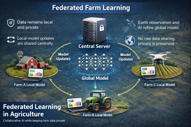
TerraFed privacy-governed soil intelligence workflow
Applied research and development

TerraFed

Privacy-governed soil intelligence, sampling prioritization, and dashboard-ready monitoring workflows without pooling raw partner data.

Read case study
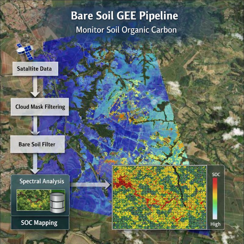
Farm-scale soil organic carbon map derived from Earth observation
Published applied research

Brazil farm-scale EO soil mapping

Sentinel-2, local observations, uncertainty, and adaptation logic across 50 farms and 7,831 georeferenced observations.

Read case study
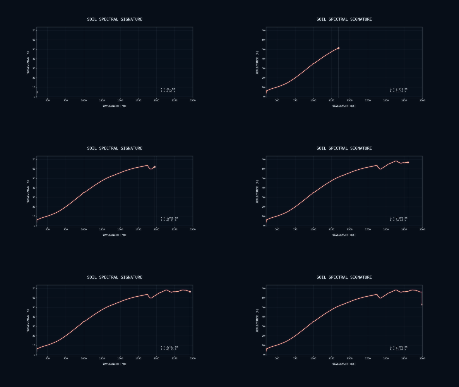
Soil spectral signatures used in harmonization and quality-control workflows
Published research workflow

Global soil spectroscopy collaboration

QA/QC, model transfer, data sovereignty, and reproducible collaboration across institutional soil libraries.

Read case study
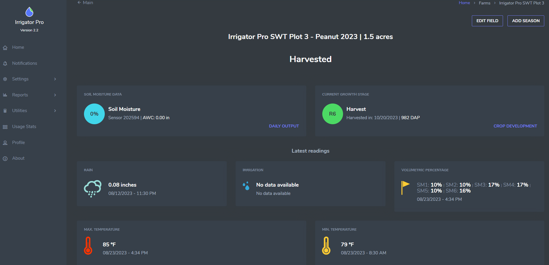
IrrigatorPro agricultural water decision-support interface
Applied decision-support contribution

Software and EO Dashboards

Decision-support software, sensor workflows, and Earth-observation dashboards translated into practical agricultural guidance.

Read case study
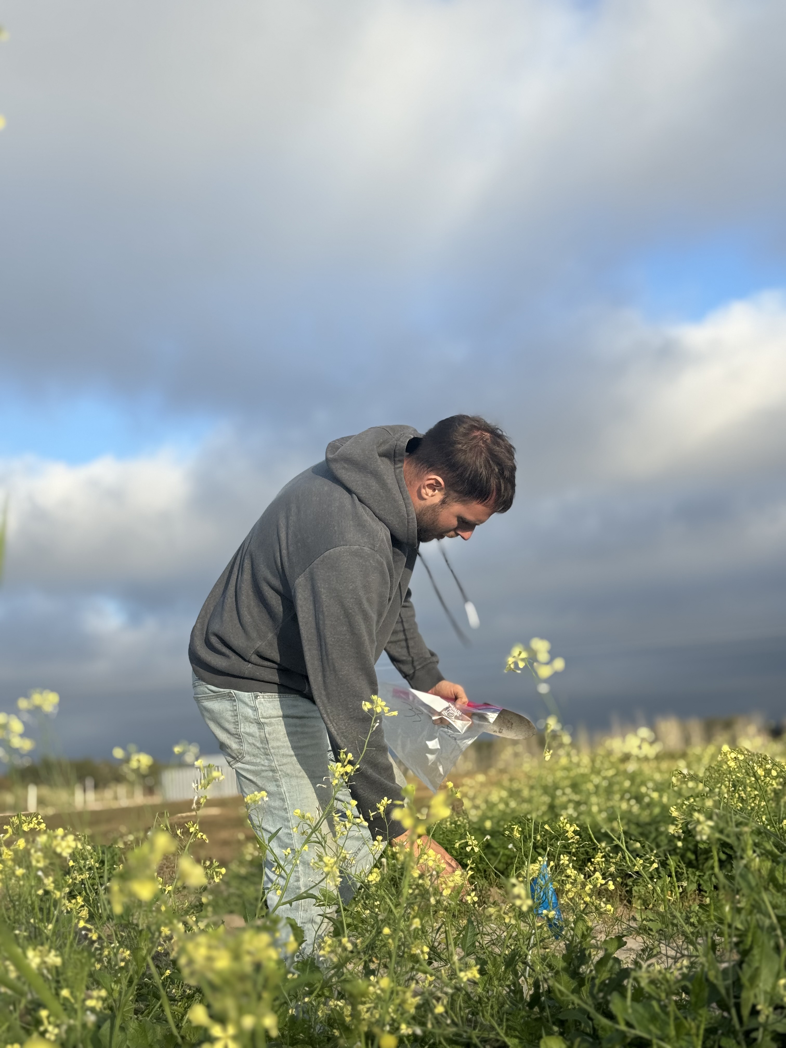
Field sampling for soil and environmental monitoring

Why GforGeoscience

Analysis designed for review, reuse, and handover

  • Field-informed interpretation connects maps and models to how environmental systems are observed.
  • Assumptions, provenance, QA/QC, validation logic, uncertainty, and limitations are documented.
  • Outputs are shaped for GIS, dashboards, reports, proposals, technical annexes, and stakeholder communication.
  • Collaboration can begin with a defined pilot and expand only when evidence, scope, and resources support it.
How Collaboration Works

Field-informed perspective

Landscapes, communities, and observation shape the workflow

Field Notes connect place-based learning about aridity, water, terrain, biodiversity, agriculture, and stewardship to practical choices in monitoring, map interpretation, validation, and communication.

Explore Field Notes
Olive landscape in Crete informing field-based agricultural perspective

Start with the project need

Need defensible environmental evidence or technical delivery support?

Share the question, geography, available data, expected output, and timeline. Sensitive materials can follow later through an agreed secure channel.